Give Me Some Sugarloaf Mountain
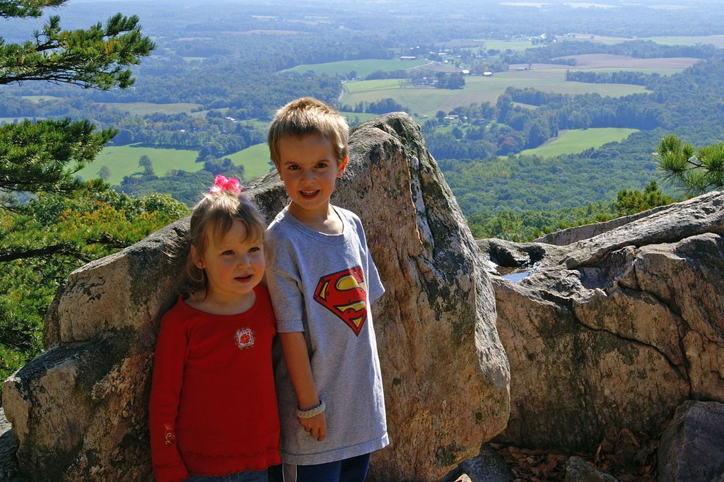
Sugarloaf Mountain is a few miles southeast of here, and according to the topographic map of Greater Adamstown that hangs on my wall, has an altitude of 1282 feet at its peak. Last year we took the west view trail (blue blaze) to the first lookout. On the way back to the car, both kids tripped and fell several times and were bruised and bloodied.
It was so much fun, that we decided to go back. We once again followed the blue blazes to the first lookout, and this time the kids didn't even break a sweat. Feeling bold, we switched to the red blaze trail which is a fairly steep ascent to the peak. The kids were troopers, and it we made it to top intact.

This is when we literally took a turn for the worse. Figuring the kids might have trouble descending the red trail, we instead set out on the blue tail which we would thought would be easier. I should point out that we did not have a trail map, and really lacked any information about the blue trail other than that it would eventually get us back to the first lookout and then to our car. Turns out the blue goes all the way down the wrong side of the mountain, then back up to the right side. Luckily, it wasn't long before we lost the trail or maybe it lost us. Either way, after some frustration and a fruit snack break, we made it back to the red trail. Going down it was not as bad as we thought, even with carrying Ella-who'd-had-enough-hiking. We got lost once more, but made it back to the big white car a bit tired, but perhaps also a bit wiser.


No comments:
Post a Comment